BORN IN CHILE

Intelligence built on Chile's public mining data

All on one map, so you know where to explore and invest

Ask Magma, our AI that saves exploration teams time and improves business decisions.

TERRITORIAL INTELLIGENCE · SAMPLE VIEW

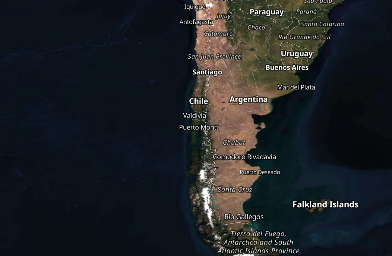
Mining projects, concessions, filings, auctions, water and geology on a single map

Turn layers on and off to see what each one shows. Several are drawn in full: you see the polygon, not the data. Zoom, search and each concession's profile are inside Territorial Intelligence.
Open a free account
Hybrid
FIXED VIEW · NO ZOOM
Sernageomin cadastre · Official Mining Bulletin (BOM), updated daily
Here you see where. Inside you see who, since when and until when.

Zoom down to the polygon, a profile with rol and holder, search by name and a daily alert when something moves in your area.

Open a free account

Territorial Intelligence

Full cadastre map
Granted and pending concessions, exploitation and exploration · Sernageomin, refreshed with every release of the service
Newly filed (BOM)
Pedimentos, manifestaciones and survey requests from the Official Mining Bulletin (BOM), published in the Diario Oficial (Chile's Official Gazette) · daily cadence
Auctions
Concessions at auction, with date, court and holder
Terrain layers
Protected areas (MMA · SIMBIO · Law No. 21,600), indigenous lands (CONADI), ECMPO (Subpesca), water rights and glaciers (DGA)
Citable geology
220 Sernageomin geological maps and publications: 19 at 1:100,000, 112 at 1:1,000,000 and 89 from the legacy catalogue
Monitoring of your area
An alert with the filing, who requested it and what it means, linked to the exact point on the map
SUBSCRIPTION
Two plans available
MAP
The whole cadastre on the map, with its layers.
MONITORING· INCLUDES MAP
You define your area and we alert you when something moves.
Open a free accountSee plans and pricing →
PROJECT MARKETPLACE

What you see on the map is also traded

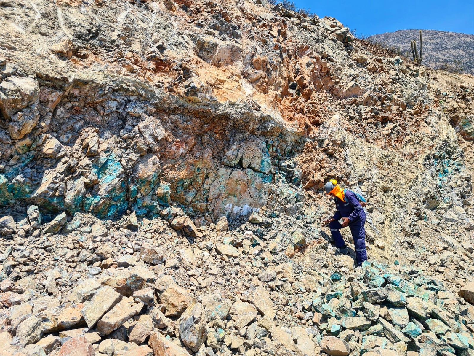
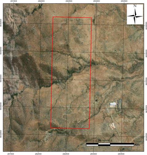
Deposits and projects for sale, with stage, region and commodity in plain view; price is negotiated. Confidential information stays in a data room under NDA, not lost in an email.
01
You publish at no cost
Your concession, your project or your ore. No commission and no exclusivity.
02
Magma finds you a counterparty
It matches your listing with whoever is looking for that grade, that stage and that region.
03
You open the data room under NDA
Reports, drill holes and titles are released only to those who sign. Every access is logged.
Publishing costs nothing. You can start in a minute.

Mineral products and mining services are also offered here

Coverage

100,000+
Concessions
920,000+
Official Mining Bulletin
200+
Geological maps
180,000+
Water rights
26,000+
Glaciers
900+
Protected areas
3,000+
Indigenous lands and ECMPO
2,700+
Archaeological sites
25,000+
Concessions auctioned in the last year
800+
Aquifer sectors and basins
Daily
Data updates

Data as of 02/11/2026 12:04

Every week we add new official sources and tools.