Raquel – Magdalena Mining Project
Provincia de Petorca, Valparaíso, Chile
ADVANCED EXPLORATION
USD 800KAcquisition +8
18 Aug 2026
View opportunity
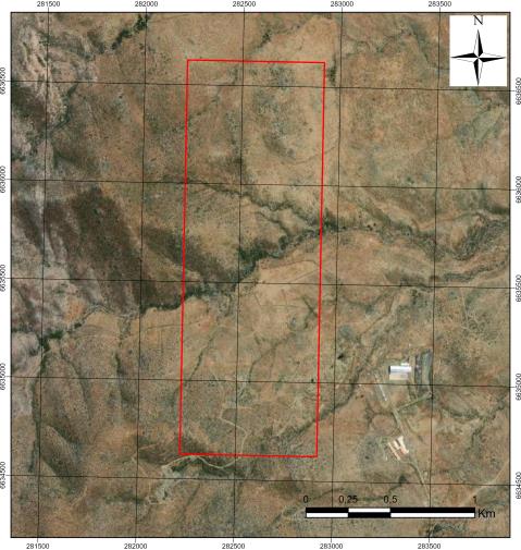
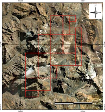
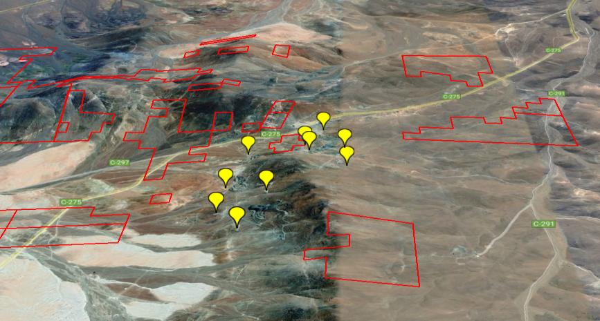
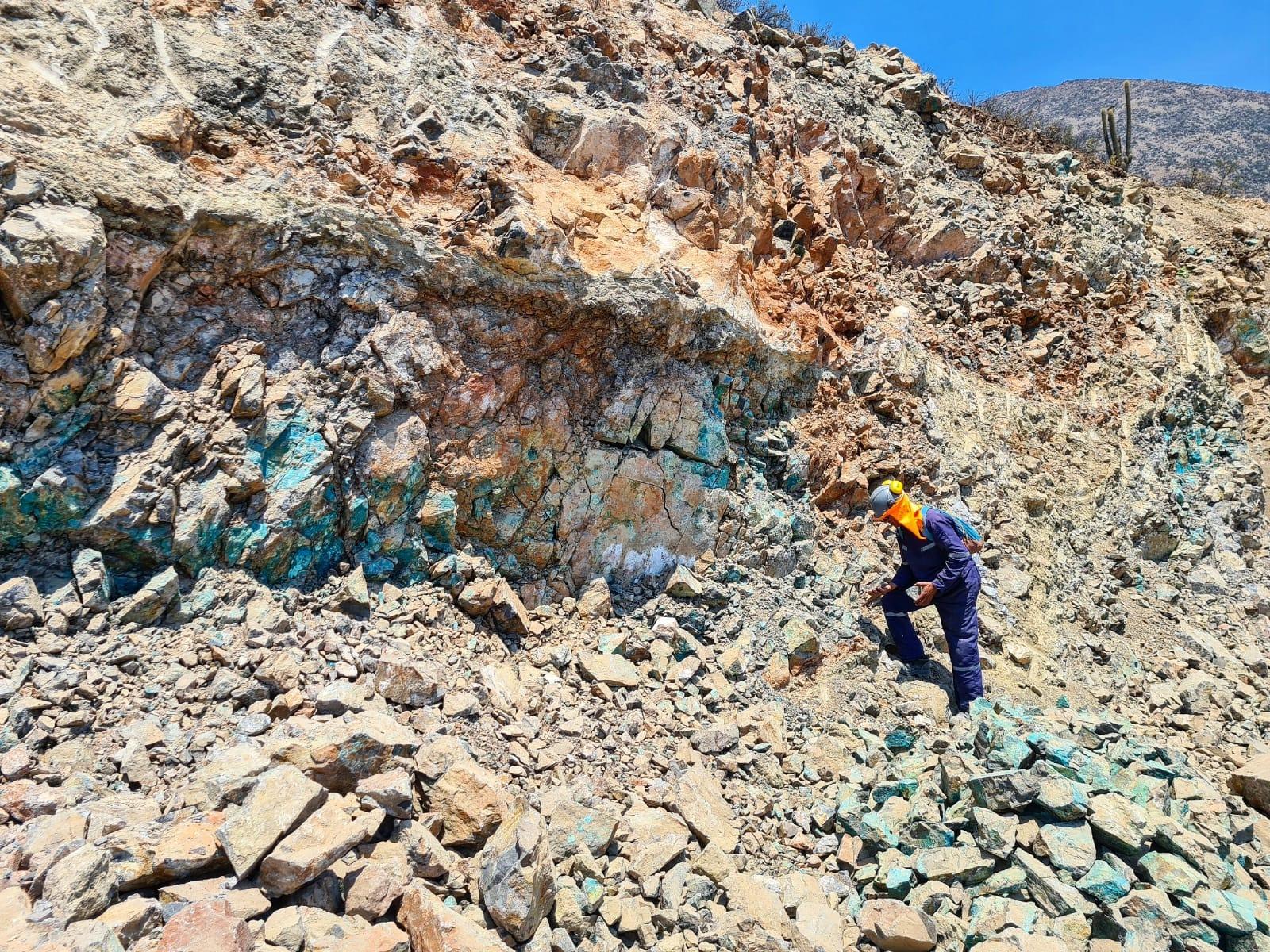
Prospecto Belén es un yacimiento en etapa de exploración avanzada ubicado en la Región de Atacama, caracterizado por sistemas de vetas angostas de cobre-oro emplazadas en un ambiente intrusivo. La geología del sector comprende afloramientos intrusivos con rocas volcánicas, dioritas e híbridas, con evidencia de alteración hidrotermal asociada a características de un pórfido de oro. Los estudios geofísicos han identificado sectores con magnetización variable cuyos lineamientos concuerdan con fallas, contactos geológicos y sistemas de vetas, permitiendo delimitar áreas de interés dentro del rango altitudinal de 1.671 a 2.103 metros.
Prospecto Cu-Au en exploración avanzada con sistemas de vetas auríferas en ambiente porfídico, lineamientos magnéticos definidos y acceso vial a 1.671-2.103 m de elevación.
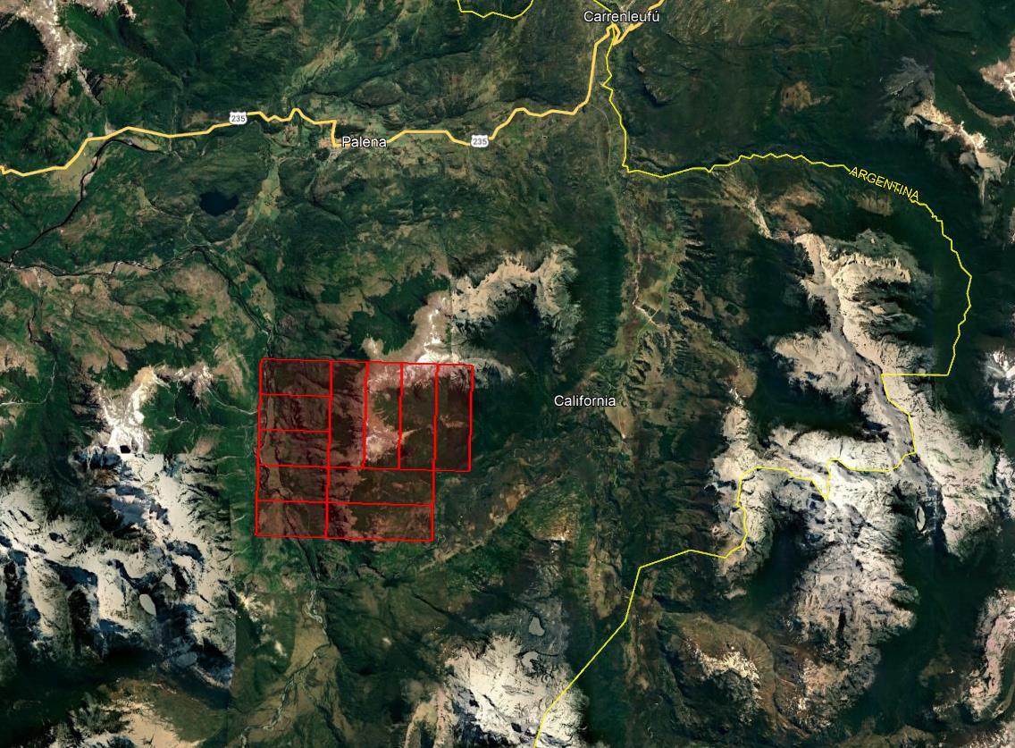
Prospecto Belén — vetas de cobre-oro en exploración avanzada, Región de Atacama
Chilean concession: two types can coexist (exploration / exploitation).
| # | Name | Type | Area |
|---|---|---|---|
| 1 | BELEN 2, 38/47 | Exploitation | 31 ha |
| 2 | BELEN 3, 1 | Exploitation | 4 ha |
| 3 | BELEN 4, 1/3 | Exploitation | 3 ha |
| 4 | BELEN 8, 1/4 | Exploitation | 12 ha |
| 5 | BELEN 9, 1/9 | Exploitation | 24 ha |
| 6 | SANTA ROSA | Exploitation | Differs from cadastre |
The area published by ENAMI differs from the mining cadastre Sernageomin mining cadastre: 3 ha (rol 031020793) Source: Sernageomin mining cadastre as of 25 Oct 2026 · the difference from ENAMI exceeds 10% | |||
| 7 | BELEN 2, 1/10 | Exploitation | 42 ha |
| 8 | BELEN 2, 11/20 | Exploitation | 44 ha |
| 9 | BELEN 2, 21/31 | Exploitation | 45 ha |
| 10 | BELEN 2, 32/37 | Exploitation | 24 ha |
| 11 | BELEN 3, 2 | Exploitation | 1 ha |
| 12 | BELEN 3, 3 | Exploitation | 2 ha |
| 13 | BELEN 3, 5/15 | Exploitation | 15 ha |
| 14 | BELEN 3, 25/27 | Exploitation | Differs from cadastre |
The area published by ENAMI differs from the mining cadastre Sernageomin mining cadastre: 3 ha (rol 031022638) Source: Sernageomin mining cadastre as of 25 Oct 2026 · the difference from ENAMI exceeds 10% | |||
| 15 | BELEN 3, 30/34 | Exploitation | 9 ha |
| 16 | BELEN 5, 21/23 | Exploitation | 6 ha |
| 17 | BELEN 3, 35/43 | Exploitation | Differs from cadastre |
The area published by ENAMI differs from the mining cadastre Sernageomin mining cadastre: 25 ha (rol 031022640) Source: Sernageomin mining cadastre as of 25 Oct 2026 · the difference from ENAMI exceeds 10% | |||
| 18 | BELEN 3, 46 | Exploitation | 1 ha |
| 19 | BELEN 3, 47/52 | Exploitation | 10 ha |
| 20 | BELEN 4, 13 | Exploitation | 1 ha |
| 21 | BELEN 4, 28/31 | Exploitation | 4 ha |
| 22 | BELEN 5, 1/10 | Exploitation | 33 ha |
| 23 | BELEN 5, 31/39 | Exploitation | 35 ha |
| 24 | BELEN 6, 6/8 | Exploitation | 8 ha |
Linked by polygon (different name in ENAMI: «BELEN 6, 6/8») In the Sernageomin mining cadastre: «BELEN 6 6-10» · rol 031022654 · the polygons overlap by 95% or more in both directions Source: Sernageomin mining cadastre as of 25 Oct 2026 | |||
| 25 | BELEN 6, 11/20 | Exploitation | 91 ha |
| 26 | BELEN 7, 21/34 | Exploitation | Differs from cadastre |
The area published by ENAMI differs from the mining cadastre Sernageomin mining cadastre: 49 ha (rol 031022659) Source: Sernageomin mining cadastre as of 25 Oct 2026 · the difference from ENAMI exceeds 10% | |||
| 27 | BELEN 7, 49 | Exploitation | 2 ha |
| 28 | SAN PEDRO | Exploitation | 2 ha |
| Total: 28 concessions | 529 ha | ||
The area published by ENAMI differs from the mining cadastre
Sernageomin mining cadastre: 3 ha (rol 031020793)
Source: Sernageomin mining cadastre as of 25 Oct 2026 · the difference from ENAMI exceeds 10%
The area published by ENAMI differs from the mining cadastre
Sernageomin mining cadastre: 3 ha (rol 031022638)
Source: Sernageomin mining cadastre as of 25 Oct 2026 · the difference from ENAMI exceeds 10%
The area published by ENAMI differs from the mining cadastre
Sernageomin mining cadastre: 25 ha (rol 031022640)
Source: Sernageomin mining cadastre as of 25 Oct 2026 · the difference from ENAMI exceeds 10%
Linked by polygon (different name in ENAMI: «BELEN 6, 6/8»)
In the Sernageomin mining cadastre: «BELEN 6 6-10» · rol 031022654 · the polygons overlap by 95% or more in both directions
Source: Sernageomin mining cadastre as of 25 Oct 2026
The area published by ENAMI differs from the mining cadastre
Sernageomin mining cadastre: 49 ha (rol 031022659)
Source: Sernageomin mining cadastre as of 25 Oct 2026 · the difference from ENAMI exceeds 10%
Areas: Sernageomin mining cadastre as of 25 Oct 2026 unless noted
Information provided by the seller. Not independently verified by Mercado Minero except where indicated. This is not investment advice.